Utjulik 2001 Expedition Report
Copyright David C. Woodman 2001
The Utjulik 2001 expedition was organized to continue the search for the shipwreck, presumably of one of Sir John Franklin’s vessels, HMS EREBUS and TERROR, which had been reported in 19th-century Inuit testimony as lying somewhere near the west coast of the Adelaide Peninsula in the central Canadian Arctic.
Previous work had identified the most probably wrecksite as lying between Grant Pt. and Kirkwall Island. One faint clue that the wreck was in this area was derived from the Inuit name for an island near Grant Pt. as "Umiartalik" — which freely translates as "Big Boat (i.e. ship) Island." I had previously tentatively identified this island with Kirkwall Is., as we learned from one of our Rangers this year the name has survived into the present day and applies to a small island (previously unofficially called First Island) between Kirkwall and Grant Pt. As this was our intended camp we felt we had started with a good omen.
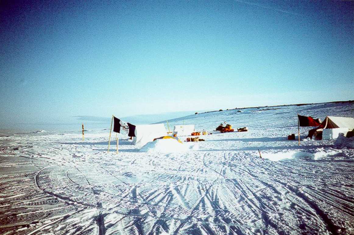
Figure 1: Expedition camp at Umiartalik Is.
The EREBUS and TERROR were robustly built as bomb-ketches and heavily ice-strengthened for Antarctic and Arctic survey work. Traditional stories concerning the circumstances of the sinking of the ship at Utjulik indicated that there was minimum violence done to the vessel and fostered the hope that it would still be relatively intact on the bottom. The vessels were each supplied with large iron steam engines (approximately 15 tons, producing 20-25 horsepower), and were sheathed in iron sheeting around their bows. It was hoped that this amount of metal would make them susceptible to discovery by the local effect on the earth’s magnetic field.
Combined with the clues contained in the native testimony the magnetic characteristics of the ships prompted an airborne magnetometer survey by the Canadian Armed Forces (Project Ootjoolik — 1992) and subsequent surveys completed in 1997 by the Canadian Coast Guard/Eco Nova (Franklin 150), and by the RCMP vessel Nadon (as part of the 2000 St. Roch II, Voyage of Rediscovery).
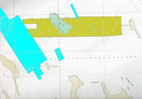
Figure 2: Prior northern surveys for the Franklin wreck - Blue (1997) and Brown (2000). Grant Pt. is to the lower right, Umiartalik Is. is bracketed by the main blue areas.
The 2001 expedition was primarily sponsored with private funds, however financial and logistical support was gratefully offered by the Vancouver Maritime Museum, the Royal Canadian Geographical Society, Scintrex Ltd., the Canadian Hydrographic Service (CHS), and Harvest Foodworks. In addition an application for support to the Canadian Forces resulted in the assignment of four Ranger personnel to augment the field team. The support of these organizations, and especially the presence of the Ranger contingent, were essential for the success of the expedition.